Enghien, Belgium
Enghien (pronounce AW of awning + GUI of guitar + AN of antler) is a a small city of 14,000 people located about 25 miles south-west of Brussels, the capital city of Belgium.

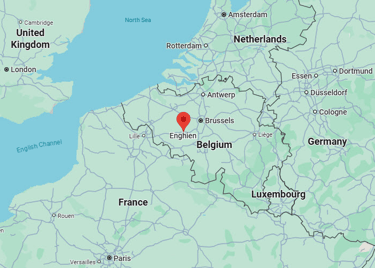
Enghien sits on the linguistic border between Flanders (North) and Wallonia (South) and many of its people speak both Flemish and French.
The city government publishes all its rulings and legislation in both languages.
Enghien is the French name of the city while Edingen (pronounce ay of pay + ding + gun) is the Flemish name.

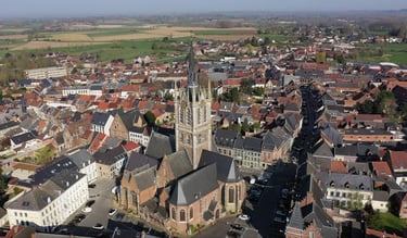
Enghien was established in the 11th century.
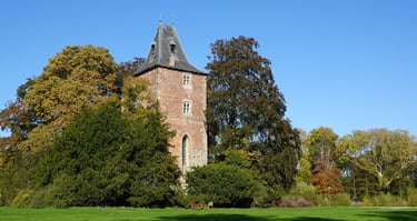
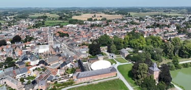
The city was built around a medieval castle, of which only one tower, that became a chapel in the late 16th century, remains today.

The medieval castle was located very near the center of town.
Observe the medieval tower in the lower right corner of the photograph.

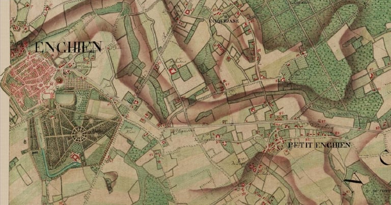
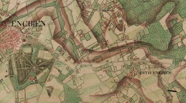
The map was drawn in 1775 and represents the territories of Enghien and Petit-Enghien.
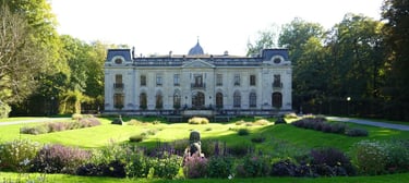
The property was privately purchased over 100 years ago and a new chateau was built where an old orangery previously was located.
The chateau and the park are now the property of the city of Enghien.

Enghien mostly made a name for itself through its gardens and park. The original ones were created between 1630 and 1635.
André Le Nôtre visited the gardens and was inspired by them when he drew the chateau of Versailles gardens for King Louis XIV.


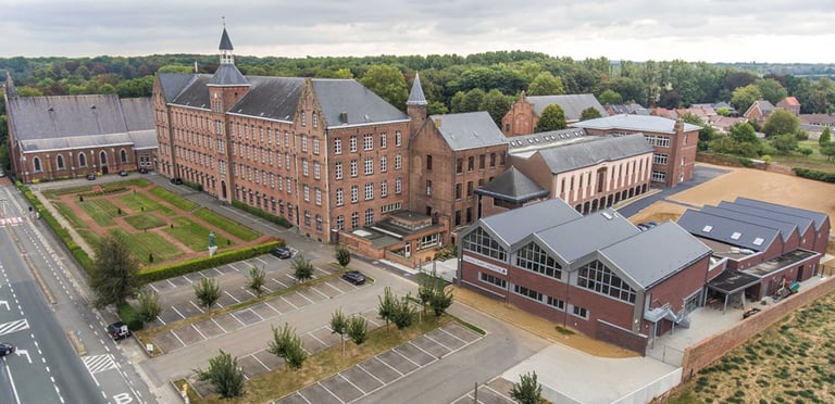
The Collège Saint-Augustin is a 7-12 catholic school in the city of Enghien. It has about 1,750 students and was established over 400 years ago. Students come from surroundings cities and towns.

© 2026 Russellville Sister Cities Foundation Tous droits réservés